Delivering Results that Matter
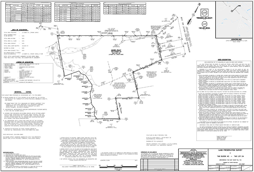
Accurate and precise boundary and topographic information are crucial when planning or designing for functional utilization of a site.
PDS Surveyors establish the location of land boundaries, the subdivision of land, the determination of land areas, the accurate and legal description of land areas and the plotting of land subdivision for record. In addition, other tasks performed by the surveyor include topographic mapping, construction layout, precise measurements of angle, length, elevation, volume and horizontal and vertical control systems.
State-of-the-art electronic equipment is now used to provide clients with accurate and precise survey information. The Survey Department is equipped with equipment capable of generating a finished drawing from raw data obtained in the field, including:
- Electronic Total Stations
- Robotic Total Stations
- Data Collectors
- Global Positioning Equipment
- Boats (For Soundings, etc.)
- 4-Wheel Drive Survey Vehicles